
Abalone Cove Foundation
One cove. One hundred forty years of paperwork.
The history of a small stretch of the California coast, the private covenants that govern it, the landslide under it, and the working hypothesis that may explain why the landslide has never stopped moving.
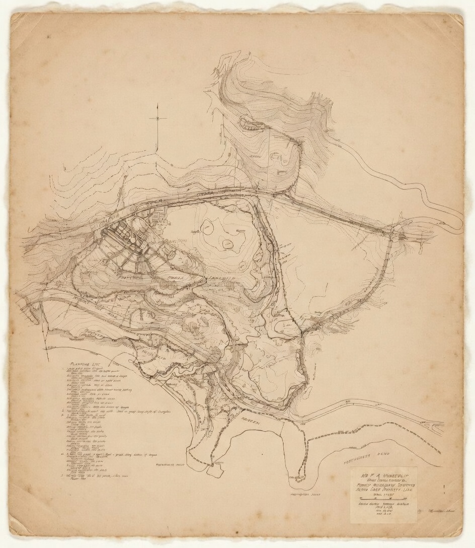
Abalone Cove is a small sheltered cove on the south side of the Palos Verdes Peninsula, in the City of Rancho Palos Verdes, Los Angeles County, California. People have lived here, on and off, for roughly seven thousand years. In the last one hundred and forty years, the land around the cove has been platted as part of the Rancho Los Palos Verdes, partitioned into Lot H by the 1882 Bixby court case, bought whole by Frank Vanderlip Sr. in 1913, placed under private covenants by the Palos Verdes Corporation in 1929 and 1949, incorporated into the City of Rancho Palos Verdes in 1973, zoned and re-zoned, litigated and re-litigated, and moved steadily toward the ocean on a sheet of bentonite clay since 1956.
This site is the editorial home of the Abalone Cove Foundation — a small neutral-documentation project that collects primary sources, writes factual narrative around them, and, occasionally, publishes a position paper on a matter the Foundation believes a public record is owed for. The site has three parts: a Story in ten eras, an Evidence Room of primary sources, and a Position Paper. A Map, a Timeline, and a Gallery support the three.
We write in the third person. We cite everything. We do not assert facts that are not in the record, and when we state a hypothesis we mark it as a hypothesis and include the steps that would confirm or refute it. If you hold a record relevant to anything on this site, or if you believe any claim here is wrong, the contribute page has a form; the how-it-works page explains the review process.
The story, in ten eras
Every development attempt at Abalone Cove
Pulled from eras 7, 8, and 9 — the documented attempts to build, subdivide, rezone, or entitle development on or directly affecting the cove, chronologically. Sources are linked on the era pages.
Development attempts, 1972-2026
| Year | Actor | Event | Parcel / APN | Outcome | Source |
|---|---|---|---|---|---|
| June 1972 | Karl Rodi (Beverly Hills attorney) | 138-170 condos proposed at Portuguese Point | — | Community voted for park | Era 7 |
| 1973 | Shapell | Attempted Filiorum Corporation land purchase | Filiorum land | Failed "due to geological problems" — Phillippe v. Shapell | Era 9 |
| Apr 22, 1976 | Palos Verdes Properties (Marlett, Pollock) | 389 + 216 units on 507 + 145 acres; 40% over General Plan | East/north Portuguese Bend | Litigation threat; staff study approved; nothing built | Era 9 |
| 1979-80 | Wong | Tract 32977 subdivision — 4 SFR lots + open space | 0 Clipper area | Reverted 1986 to single parcel (Tract 43725) | Era 9 |
| Dec 2005 | Wong Family Trust → Hartman Trust | Sale | APN 7573-006-024 | $1,800,000; held vacant through 2021 | CTC report |
| Oct 2021 | Hartman Trust → Clipper Development LLC (Ali Vahdani) | Sale | APN 7573-006-024 | $2,200,000; first-time housing developer | Era 9 |
| Mar 1, 2024 | Cal. Ct. App. 2d Dist., Div. 4 | Colyear v. Rolling Hills CA, B308382 | — | Master declaration doctrine narrowed | Era 9 |
| Apr 16, 2024 | RPV City Council | Rezoning Site #16 RS-4 → RM-22 (Housing Element) | APN 7573-006-024 | Unanimous; 43 speakers; no Coastal Commission certification | Era 9 |
| Apr-Jun 2024 | RPV | Three zoning ordinances in 63 days — 678U, 680U, 681 | — | Implementing the rezoning | Era 9 |
| Sept 11, 2024 | Community of Abalone Cove | Verified Petition for Writ of Mandate, Case 24TRCP00352 | 0 Clipper rezoning | LA Superior Ct Torrance, Dept. B, Judge Stern; pending | Era 9 |
| Dec 17, 2024 | Clipper Development LLC | SB 330 Preliminary Application — Builder's Remedy pathway | APN 7573-006-024 | Entitlement lock-in attempt | Era 9 |
| Jun 2025 | RPV City Council | Voted to keep Site 16 despite HCD confirmation alternatives existed | APN 7573-006-024 | — | Era 9 |
| Nov 4, 2025 | Hankey Capital LLC | $2.1M commercial loan to Clipper Development LLC | APN 7573-006-024 | Refinance nearly 2× original purchase loan; development financing profile | Era 9 |
| 2026 | Abalone Cove Foundation | Identified orphaned 24-inch line hypothesis | APN 7573-006-024 + APN 7573-007-900 | Under investigation | position paper |
The position paper
A 24-inch diameter line appears on and adjoining APNs 7573-006-024 (0 Clipper Road) and 7573-007-900 (the Shoreline Park sister parcel). Its origin, its maintenance status, and its current function are not documented in any record the Foundation has been able to locate. The corridor it follows is consistent with the alignment of a Palos Verdes coast road right-of-way recorded at Book 6059 page 178 — a road that predates the 1956 onset of the Portuguese Bend landslide.
The position paper at /position/ states, as a hypothesis, that the line may be a remnant of that right-of-way, may be disconnected from the modern maintained sanitary-sewer system, and may be exfiltrating water into a landslide the City's own 2018 EIR identifies as groundwater-controlled. The paper lists the five public-records and field-investigation steps that would confirm or refute the hypothesis. It is not a finding. It is designed to be falsified.
Read the position paper. · Read the plain-language version. · Contribute a record.
Other pages
- The Land That Moves — a longform account of one vacant parcel, one hundred and forty years of covenants, and the geology underneath all of it
- Evidence Room — primary sources organized by category
- Map — interactive peninsula map with historical layers
- Timeline — a single-column chronology of every dated event
- Gallery — visual archive (186 images, EXIF-indexed)
- Sign — the signatories' page
- About — who the Foundation is, and what it does